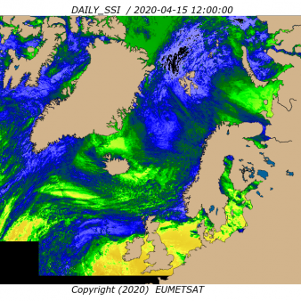
Atlantic High Latitude Surface Solar Irradiance
Operational Near real time productDaily Surface Solar Irradiance over Atlantic High Latitudes based on AVHRR data from Metop and NOAA satellites.
Identification
Acronym : AHL SSI
OSI SAF producer : Norwegian Meteorological Institute
Identifier : OSI-302-c
Acronym for EDC (APNM) : ODLISSIAHL
License/Attribution : See at bottom
Characteristics
Processing level : L3
Satellite input : Metop-B/AVHRR, Metop-C/AVHRR, NPP/VIIRS, NOAA-20/VIIRS
Other input : NWP outputs
Temporal sampling : 1 per day
Central time : 12:00
Timeliness :
?
The timeliness is the time elapsing from the sensing time of the last contributing file to the product dissemination to users. It is similar to the latency.
3h30
Spatial coverage : Atlantic Ocean north of 50N and parts of the Arctic Ocean (+/-90° from 0° longitude)
Spatial sampling : 5 km
Projection : Polar stereographic
File Formats : HL FTP Server (NetCDF4), EDC (NetCDF4), EUMETCast (NetCDF4)
Characteristics & methods : Bulk parameterization, including over sea ice
Data Access
OSI SAF FTP server (last 31 days)
ftp://osisaf.met.no/prod/
Directory: flux/daily
OSI SAF FTP server (archive)
ftp://osisaf.met.no/archive/
Directory: flux/daily
OSI SAF Thredds
EUMETSAT Multicast
Accuracy Requirements
Target accuracy : monthly relative absolute mean difference: 10 %, monthly relative standard deviation: 30 %
Verification/validation method : Routine comparison with pyranometers measurements
Applications and users
Usage : NWP, Ocean and biological modeling at operational and research centers, organisations mapping solar energy.
History
Authorised to be operational / released :
First date :
Full series temporal coverage : 2012-onwards
Detailed history :
The product series is operational since 2012:
- version OSI-301 from 2012 to 19/03/2020
- version OSI-301-b from 20/03/2020 to 22/05/2023
- version OSI-301-c from 23/05/2023 onwards
License/Attribution
License/Attribution : OSI SAF Atlantic High Latitude Surface Solar Irradiance 2023-onwards, OSI-302-c. EUMETSAT Ocean and Sea Ice Satellite Application Facility. Data extracted from [distributor/distribution mean]: ([extracted period],) ([extracted domains],) accessed [download date]
The content within square brackets "[…]" is to be replaced with whatever distributor, period, domain or download date is relevant to the data being used. The "extracted period" and "extracted domains" are only needed if a subset of the data is being used.
Suggestions for "distributor/distribution mean": OSI SAF FTP server/the EUMETSAT Data Centre/EUMETCast/name and URL of a redistributor...
Comments
New ticket helpdesk
This product superseded OSI-302-b on 23 May 2023 at 12:00 UTC. The major changes are the following:
The product file format is mainly unchanged, except some additions/corrections to the global attributes. For more details, check the new Product User Manual here:
https://osisaf-hl.met.no/sites/osisaf-hl/files/user_manuals/osisaf_cdop3_ss2_pum_ahl-l3-flux_v2p1.pdf
OSI-301-c and OSI-302-c are provided in the same product file.